Merry Wanderer of the Night [Search results for Natural Heritage]
Natural Heritage: Environmental groups sue BLM over fracking permits near Chaco

Heritage: Coptic monks scramble to protect ancient monastery

Natural Heritage: The 're-wilding' of Angkor Wat

Near East: Van’s ancient city in danger of vanishing

Heritage: Ancient Philippi to claim spot on UNESCO list

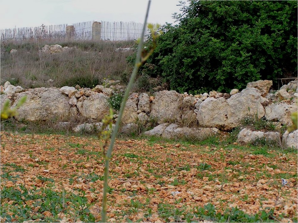
Malta: 50 new sites in Malta scheduled for protection
North America: Artifacts at risk as Black Warrior River erodes soil at Moundville

Central Asia: Copper mining threatens Afghanistan's Mes Aynak
